From the Puez–Odle massifs to the Tre Cime di Lavaredo, this west-to-east traverse follows some of the most spectacular trails in the Dolomites, ending in Cortina d’Ampezzo.
One of the most iconic itineraries in the Alps, featuring highly varied landscapes and breathtaking scenery. Each evening you reach a different mountain hut, almost always above 2,000 meters, with exceptional views over the Dolomites.
Difficulty: suitable for hikers with solid trekking experience.
One of the most iconic itineraries in the Alps, featuring highly varied landscapes and breathtaking scenery. Each evening you reach a different mountain hut, almost always above 2,000 meters, with exceptional views over the Dolomites. This is one of the great Alpine routes, also known as an Alta Via, crossing spectacular landscapes and unique rock formations. A traverse through a natural environment recognized as a UNESCO World Heritage Site.
Daily stages range from 5 to 7 hours of walking.
You must be able to handle 800–1000 m of elevation gain per day, for several consecutive days
Day 1 – From Cortina d’Ampezzo to Passo Pordoi
Transfer from Cortina to Passo Pordoi by taxi (1h15).
Cable car ascent to Sass Pordoi (2,990 m), then climb to Piz Boé (3,152 m) and descent to the Rifugio Cavazza hut.
Magnificent panoramic views over the Dolomites. Crossing Antersass and the plateau before descending to Rifugio Cavazza al Pissadù (2,585 m).
5 hours walking – D+ 475 m / D– 835 m – 10 km
Day 2 – Entering the Puez–Odle Massifs
Varied day with passage through Passo Gardena (2,121 m) and ascent toward the Puez–Odle group.
From Passo Ciampei (2,366 m) you reach a plateau leading to Rifugio Puez (2,475 m).
5 hours walking – D+ 760 m / D– 860 m – 11 km
Overnight at Rifugio Puez (2,475 m).
Day 3 – Among Rocks and Flowers
A highly scenic day, moving through mineral landscapes and more open areas with strong geological and botanical interest.
Crossing several passes, you reach Rifugio Genova (2,297 m).
5 hours walking – D+ 580 m / D– 760 m – 11 km
Overnight at Rifugio Genova (2,297 m).
Day 4 – From the Odle to the Fanes Area
Descent into Val de Lungiaru, then transfer toward the Fanes–Senes–Braies massifs.
Short ascent to Rifugio Scotoni (2,000 m), located at the foot of the mountains.
3h30 walking – D+ 300 m / D– 800 m – 13 km + 30 min bus transfer
Overnight at Rifugio Scotoni (2,000 m).
Day 5 – Balcony Trail
Traverse along a magnificent trail beneath towering limestone walls.
Passage at Col Lagazuoi (2,573 m), then along the Tofana di Rozes cliffs and ascent to Rifugio Giussani (2,580 m).
6 hours walking – D+ 1,050 m / D– 490 m – 11 km
Overnight at Rifugio Giussani (2,580 m).
Day 6 – A Wilder Route
A little‑frequented trail, descending into the Travenanzes valley and climbing to Col Ciase (2,760 m) and the Bivacco della Pace.
Wild and enjoyable descent to Rifugio Fanes (2,060 m).
6h30 walking – D+ 1,040 m / D– 1,550 m – 15 km
Overnight at Rifugio Fanes (2,060 m).
Day 7 – In the Heart of the Dolomites
Ascent along the military road to Rifugio Biella (2,327 m).
Optional afternoon climb to Croda del Beco (2,810 m).
5h30 walking – D+ 840 m / D– 570 m – 14 km
Overnight at Rifugio Biella (2,327 m).
Day 8 – Ridges and Deserts of Dolomites
From Rifugio Biella, traverse panoramic ridges and karst deserts beneath Croda Rossa until reaching Rifugio Pratopiazza (1,991 m).
5h30 walking – D+ 430 m / D– 750 m – 12 km
Overnight at Rifugio Pratopiazza (1,991 m).
Day 9 – Facing the Tre Cime di Lavaredo
Descent toward Val di Landro, passing below Monte Specie, then ascent of the Rienza valley toward Col Grande del Rondoi (2,289 m).
Continue to the famous Rifugio Locatelli (2,405 m), with its iconic view of the Tre Cime.
6h30 walking – D+ 1000 m / D– 460 m – 10 km
Overnight at Rifugio Locatelli (2,405 m).
Day 10 – The beautiful Traverse of the Tre Cime di Lavaredo
Final stage toward Col Pian di Cengia (2,522 m), then traverse beneath Cima Piccola to Rifugio Auronzo.
Transfer back to Cortina d’Ampezzo.
4h30 walking – D+ 110 m / D– 210 m – 12 km + 45 min transfer
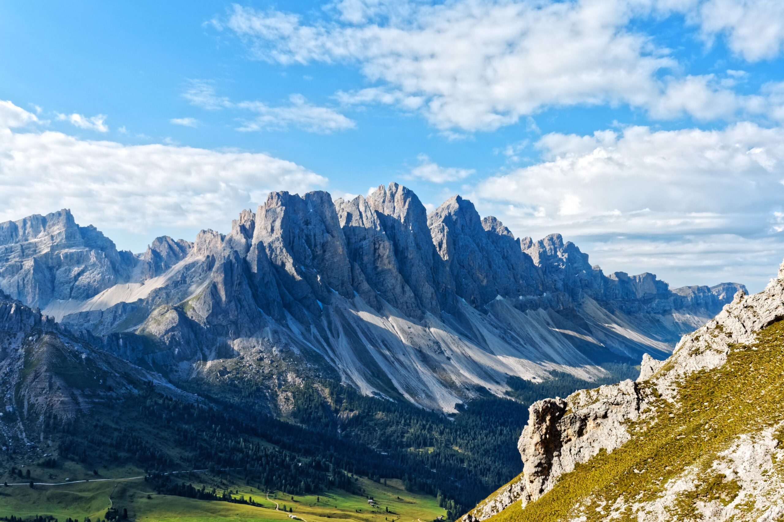
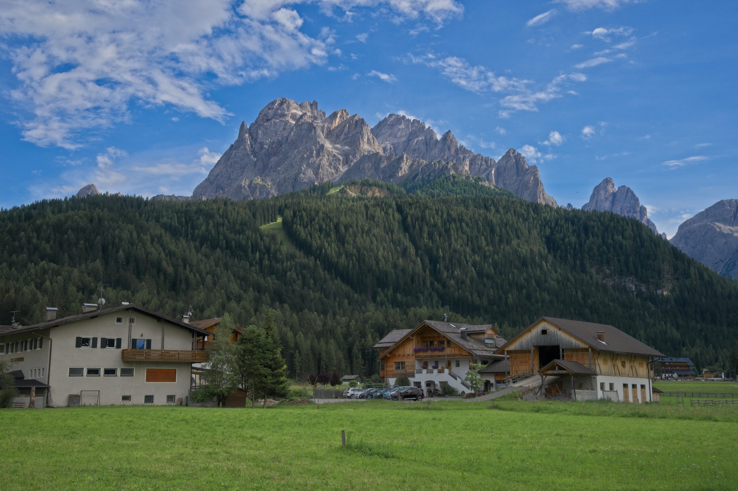
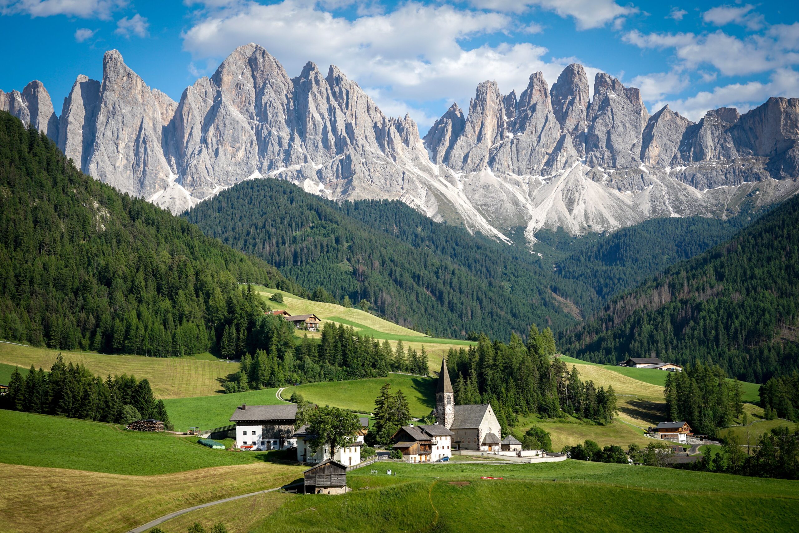
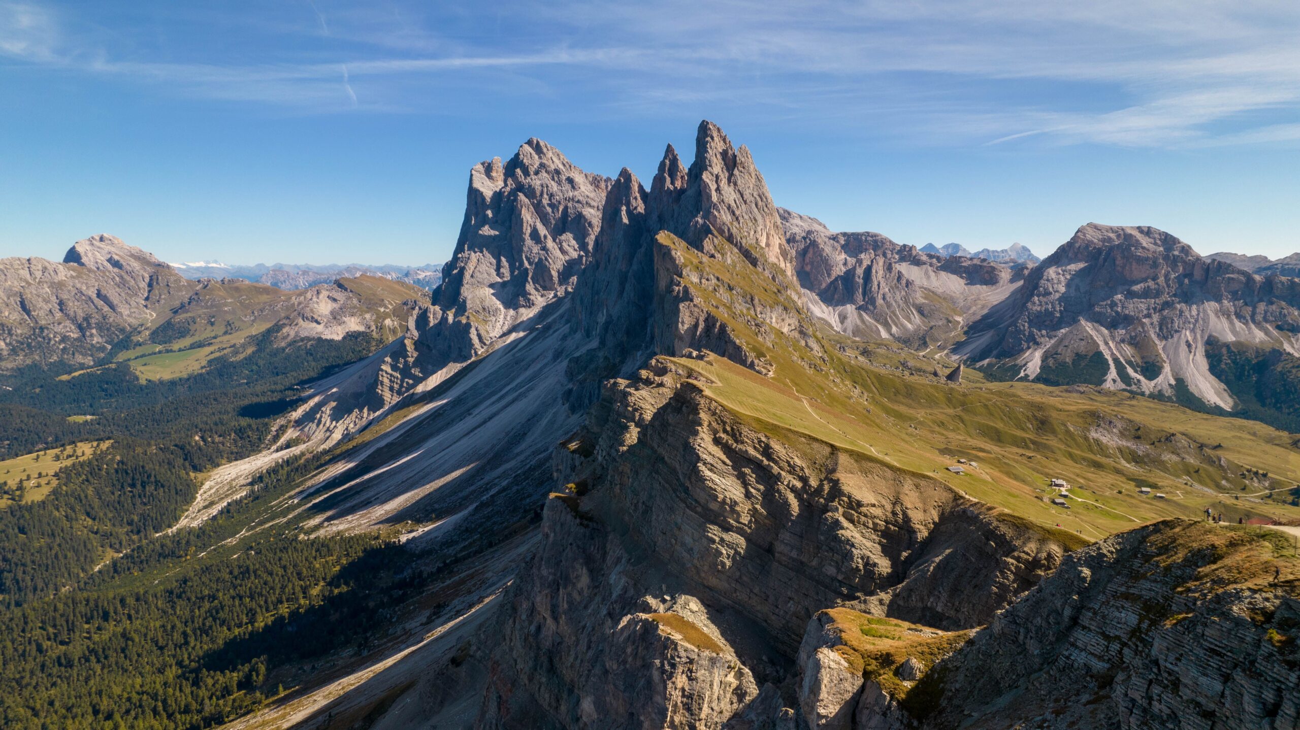
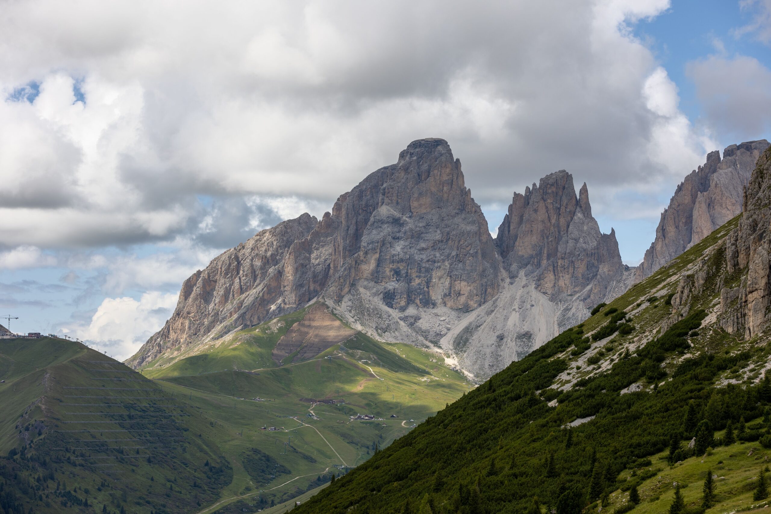
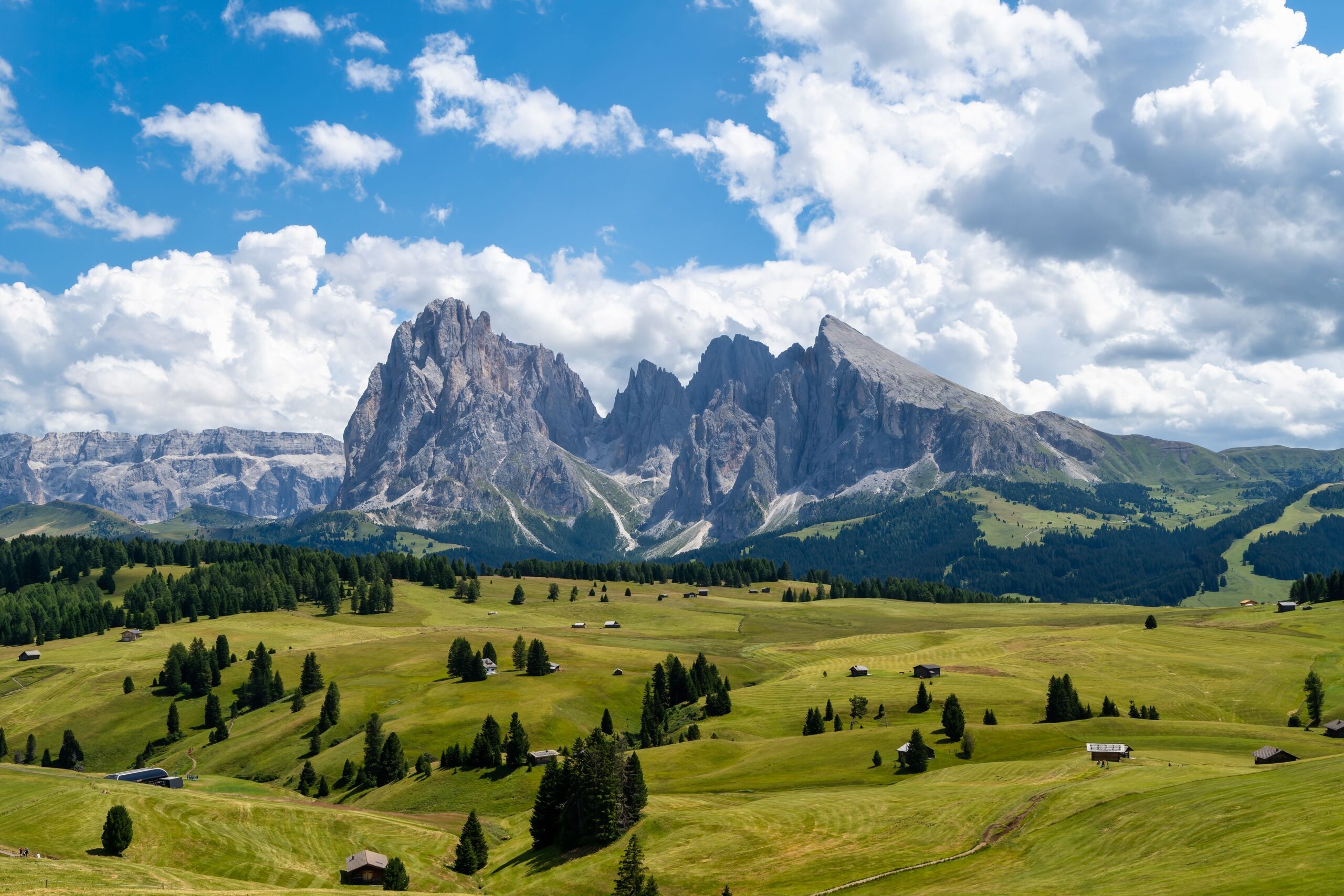
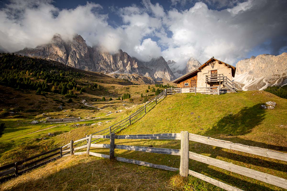
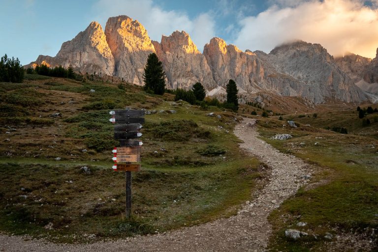
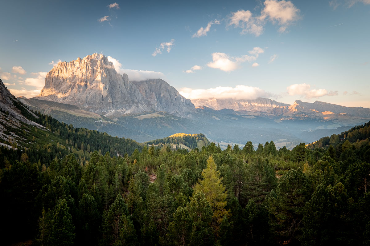
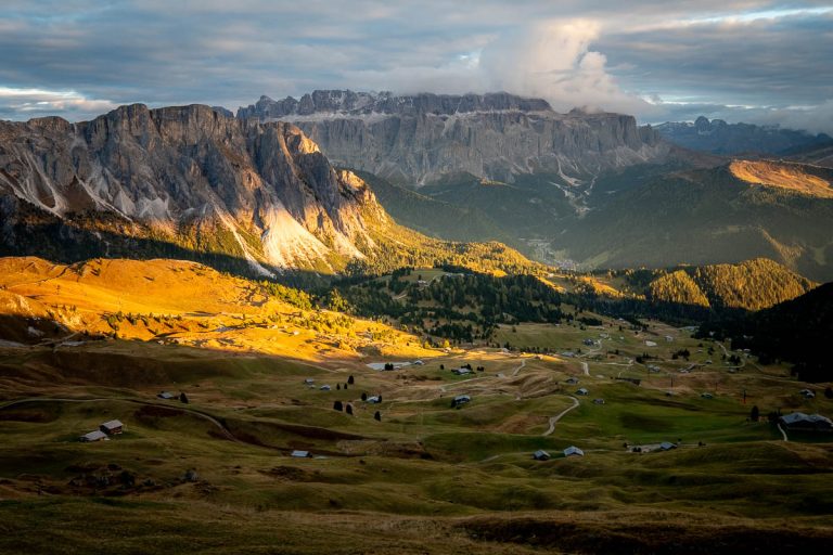
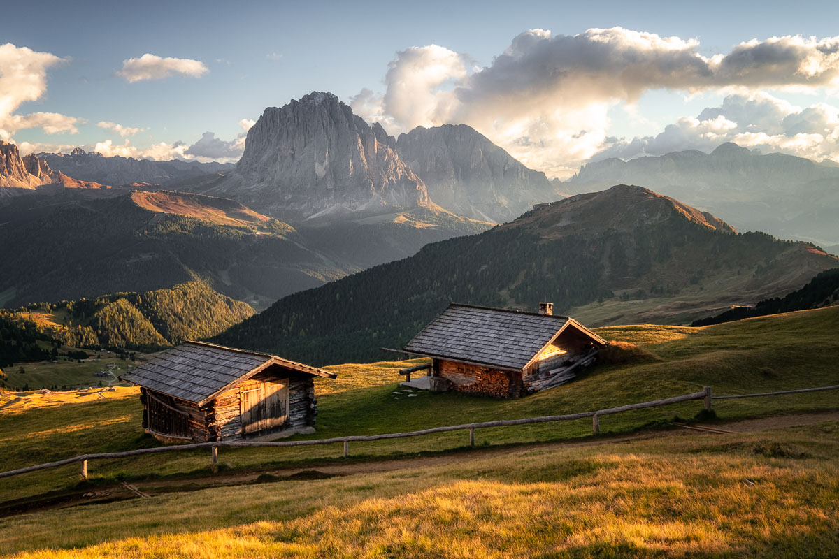
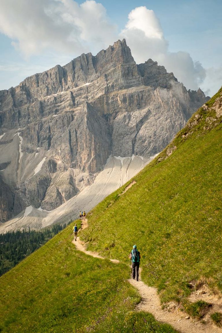
Breathtaking Dolomite Views
The trek is characterized by magnificent panoramic views of the Dolomites.
Gardena Pass and the Ascent to the Puez-Odle Massif
Gardena Pass offers one of the most spectacular panoramas in the Dolomites: high-altitude meadows, towering rock faces, and sweeping views of the majestic Puez-Odle massif. The ascent crosses a unique landscape where the famous Dolomite peaks accompany every step, offering extraordinary scenery in every season.
Genova Mountain Hut (Rifugio Genova)
A highly scenic route through rocky alpine landscapes and wide open areas, with remarkable geological and botanical interest. Crossing several mountain passes, the trail reaches Rifugio Genova at 2,297 m above sea level.
Scotoni Mountain Hut (Rifugio Scotoni)
Rifugio Scotoni is located in one of the most spectacular corners of the Dolomites, at the foot of the majestic Lagazuoi cliffs and surrounded by the unspoiled landscapes of the Fanes-Senes-Braies Nature Park. Here, alpine meadows, dramatic rocky peaks, and breathtaking views create an authentic mountain atmosphere, perfect for immersing yourself in the beauty of nature.
USEFUL INFORMATION
Price and additional information available upon request
Maximum group size: 4 participants
Participants are strongly advised to have travel insurance covering medical expenses and mountain rescue services.
A mountain trekking route is considered easy when it has a modest elevation gain, lasts a few hours, and follows well-marked trails without exposed sections.
It’s ideal for those new to the mountains, families, or anyone looking for a relaxing walk surrounded by nature.
In summary:
Always remember that weather and terrain conditions can affect the difficulty, so it’s best to set off prepared!
A mountain trekking route is defined as medium when the elevation gain increases, the walking time gets longer, and the terrain may have steeper or more irregular sections.
It requires some training and a certain familiarity with mountain environments, but is within reach of many hikers.
In summary:
Always remember that weather conditions and terrain can affect difficulty, so it’s best to start prepared!
A mountain trekking route is defined as difficult when the duration and elevation gain are significant and the trail includes more technical or exposed sections. Good physical fitness, experience, and the right gear are needed, as these itineraries are designed for those who want to challenge themselves and take on a more demanding adventure.
In summary:
Always remember that weather and terrain conditions can affect the difficulty, so it’s best to be prepared!
 Mountain