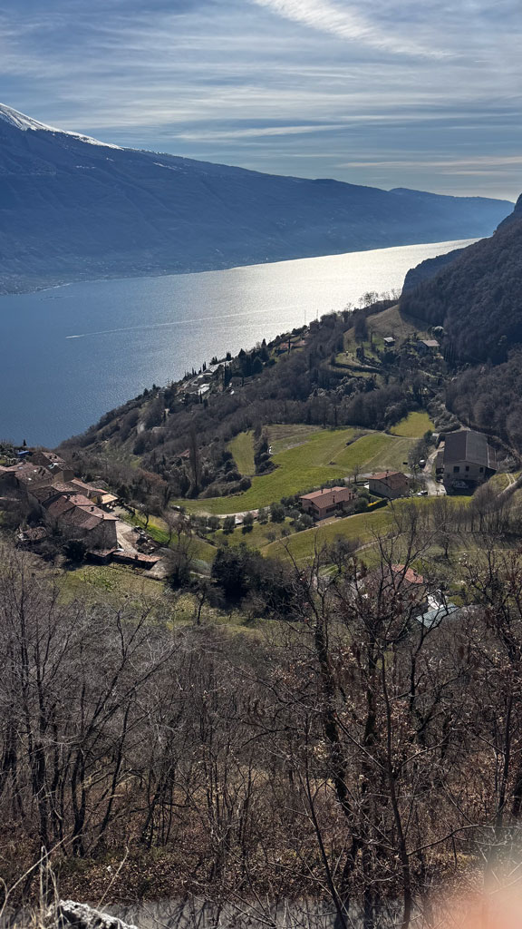
This itinerary, also suitable for those with little mountain experience, allows you to discover not only the natural beauty of Upper Garda, but also the traces of its more recent history. The start is from Campione del Garda, where you take the spinning mills trail, an ancient path used by inhabitants to reach the villages above when the coastal road did not yet exist.
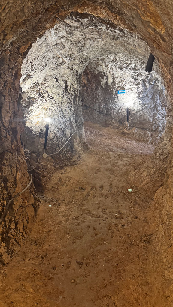
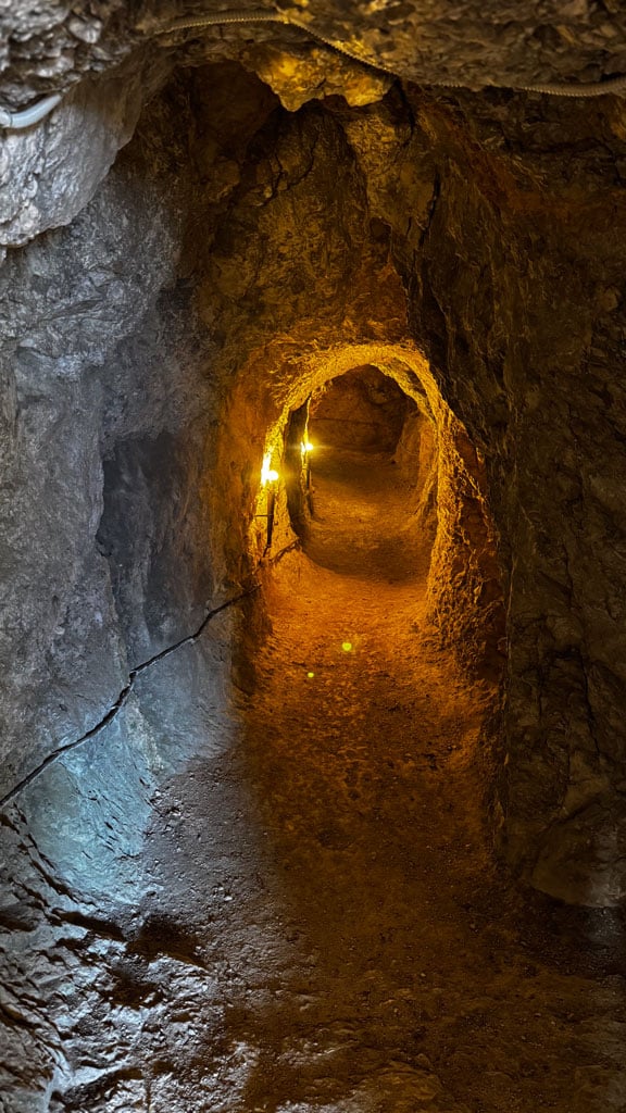
The path climbs toward the picturesque village of Pregasio, a cluster of stone houses that preserves the atmosphere of the old Garda lakeside towns. From here, continue toward the Grotte di Mezzema, a remarkable place where nature and history intertwine: the natural cavities were used over the centuries as shelters, storage areas, and workplaces, and during the Great War they became strategic observation and shelter points.
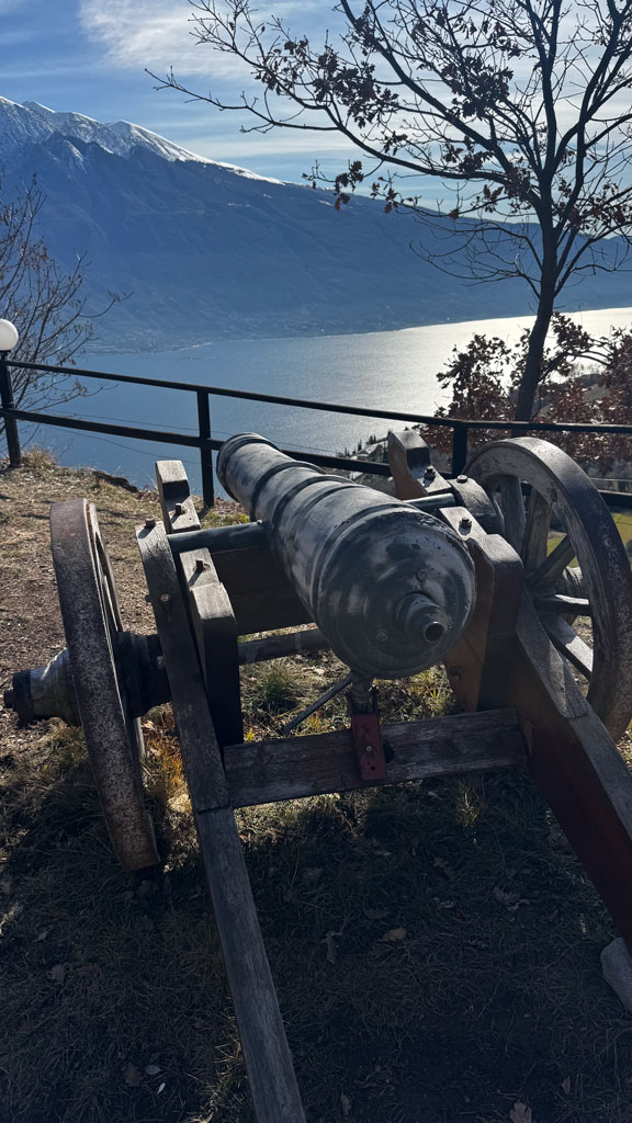
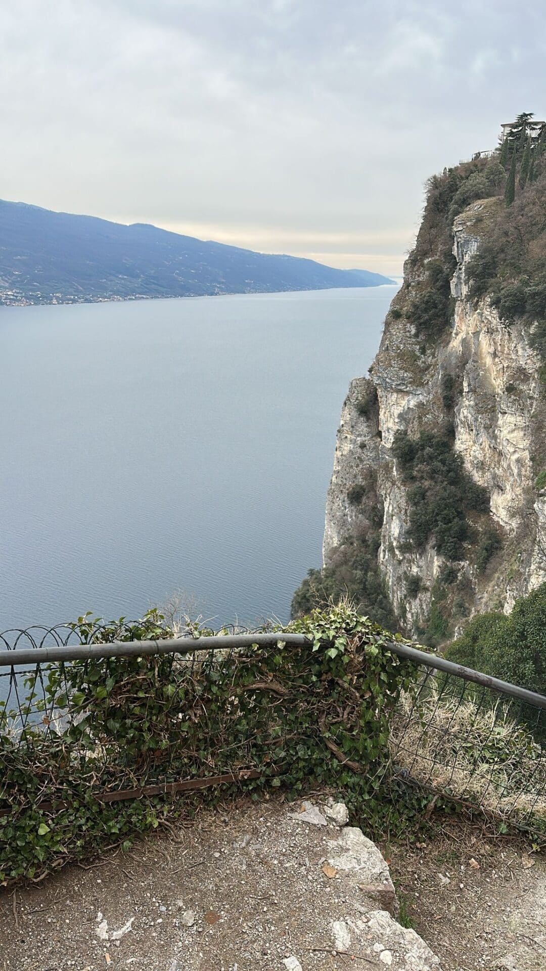
Continuing toward Pieve, the view opens up more and more over the lake and the Monte Baldo massif, while the trail crosses areas that were involved in military operations along the Garda front during World War I. Although the main front line ran further north, the entire area was considered strategic: mule tracks, control posts, shelters, and military connecting routes were built. The local population was involved in support work, requisitions, and forced relocations, living through difficult years marked by resource scarcity and the constant presence of military units.
The old military road, which you follow on the descent toward Campione, is one of the most evident testimonies of that period. Built to ensure safe connections between the Upper Garda posts, it still preserves dry stone walls, sections carved into the rock, and viewpoints that once served as observation posts over the lake and possible enemy access routes.
The entire itinerary is therefore a journey through nature, history and memory: a route that tells the story of daily life for the inhabitants of Lake Garda before the construction of the modern road and allows you to understand how the Great War left deep marks even in places seemingly far from the front.

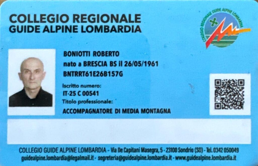
Roberto Boniotti
My name is Roberto Boniotti and the mountains are my life. For over 40 years, I have been exploring peaks, valleys, and trails, turning my passion into a profession that combines technical expertise, safety, and respect for nature.
My parents passed on their passion for the mountains to me from a very young age. From my first walks in the woods with my parents, I gradually began to explore the areas I encountered and to look up at the sky, toward those mountains that seemed unreachable. And with each new summit reached, new horizons and mountains to discover and explore gradually opened up.
With friends, I started attending Italian Alpine Club courses in mountaineering, ski mountaineering, and rock climbing, and eventually, the mountains became my world—discovered and yet to be discovered in all their aspects.
After many years of life experience in the mountains and having led students through the Alps as a mountaineering and ski mountaineering instructor—training them from a technical, cultural, and human perspective—I earned my Mountain Leader certification in 2021 to turn my passion into a job and share my experiences with those who want to enjoy the pleasure of the mountains with me.

A mountain trekking route is considered easy when it has a modest elevation gain, lasts a few hours, and follows well-marked trails without exposed sections.
It’s ideal for those new to the mountains, families, or anyone looking for a relaxing walk surrounded by nature.
In summary:
Always remember that weather and terrain conditions can affect the difficulty, so it’s best to set off prepared!
A mountain trekking route is defined as medium when the elevation gain increases, the walking time gets longer, and the terrain may have steeper or more irregular sections.
It requires some training and a certain familiarity with mountain environments, but is within reach of many hikers.
In summary:
Always remember that weather conditions and terrain can affect difficulty, so it’s best to start prepared!
A mountain trekking route is defined as difficult when the duration and elevation gain are significant and the trail includes more technical or exposed sections. Good physical fitness, experience, and the right gear are needed, as these itineraries are designed for those who want to challenge themselves and take on a more demanding adventure.
In summary:
Always remember that weather and terrain conditions can affect the difficulty, so it’s best to be prepared!
 Mountain